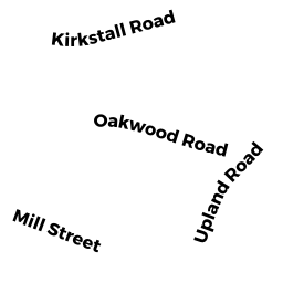
191 KIRKSTALL RD
Owner Information
SOBER CHERYL W
191 KIRKSTALL RD
NEWTONVILLE, MA 02460


Property Details
191 KIRKSTALL RD is classified as a Single Family Residential (Colonial).
The primary structure on this property was built in 1924. There are 4,050ft2 of built area within this property. There is 2,718ft2 of residential/living space within this property. This property is listed as having 10 rooms.
191 KIRKSTALL RD is valued at $1,378,000. The land is valued at $826,800 and the structures are valued at $551,200.
This property is in Zone SR2. Confirm with local Zoning Board authorities to ensure there are no overlays or other easements on this property.
The most recent deed for 191 KIRKSTALL RD is recorded at the local registrar in Book 42288, Page 30. 191 KIRKSTALL RD was last sold on Monday, March 1, 2004 for $100.
Assessment data from fiscal year 2022.
Flood Data
According to the FEMA National Flood Hazard Layer, this property does not appear to be in a flood zone. It may also be in an area not yet reviewed. Nonetheless, confirm this information prior to taking any action.
To view the flood hazards around this property, create a FEMA "Firmette" Map of the area around 191 KIRKSTALL RD.
Broadband Internet Providers
| Provider | Type | Bandwidth (mbps) | |
|---|---|---|---|
| Verizon New England Inc. | DSL | 3 | 0 |
| Viasat Inc | Satellite | 100 | 3 |
| VSAT Systems, LLC. | Satellite | 2 | 1 |
| HughesNet | Satellite | 25 | 3 |
| GCI Communication Corp. | Satellite | 0 | 0 |
| RCN | Cable | 500 | 20 |
| Comcast | Cable | 1000 | 35 |
| Verizon New England Inc. | Fiber | 940 | 880 |
Broadband service provider data from December 2020.
Adjacent Properties
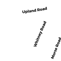
- 20 MORSE RD
Single Family Residential owned by WICKREMAGE KAVINDI - 185 KIRKSTALL RD
Single Family Residential owned by REICHLING STEWART B L - 2 WHITNEY RD
Single Family Residential owned by GRAY PAUL S & LEIGH E - 8 WHITNEY RD
Single Family Residential owned by BUFFERD ALLAN S & RHEA K TRS - 14 WHITNEY RD
Single Family Residential owned by THERAN LEONARD G & ALYSON S